You might have noticed that the STEPS Centre has a new website. As the final step to our online facelift, we have just launched a new global section of the website. It highlights the exciting work of the Pathways to Sustainability Global Consortium hubs in Africa, China, South Asia, North America, Latin America and Europe.
Responsive website
The old STEPS website wasn’t built with responsive web design, which meant that elements didn’t move and resize according to the width of the browser on the device (such as tablets or mobile phones) being used to view it. This was something urgent that we needed to address in our web redesign. In the UK, smartphones became the top device used by internet users in 2015 overtaking laptops according to Ofcom, and around the world people are turning to mobile devices in increasing numbers. Our new website is responsive – try viewing it on your tablet or phone and see what you think.
Improved taxonomy so content is easier to find
We wanted to make our commentary and publications easier to find through an improved taxonomy. We organised the content on the site by themes; in particular we grouped the STEPS Centre’s research around ten categories to reflect the Centre’s expanded agenda. Each category, such as Climate Change and Energy, has its own page which pulls together all our latest web content (including our blogs, news, publications and projects) and provides users with a snapshot of the breadth of our work. We have made the categories highly visible by profiling the categories on the homepage and in our drop down menu.
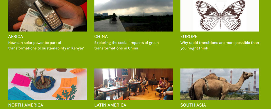
Profiling the Global Consortium
The Pathways to Sustainability Global Consortium, launched in 2015, is made up of six ‘hubs’ based in leading academic institutes in Africa, South Asia, China, Europe, Latin America and North America. The hubs work together on transdisciplinary research, policy engagement, teaching, impact and communications. We wanted the Consortium website to be part of the main site to ensure content could be shared between both. So we have created a new Consortium sub-site with a different visual identity on the same content management system (WordPress). In this way content can be shared through categorisation and tagging.
Cool new features: Interactive Peters’ projection map
Cartographers have long faced the challenge of representing a round earth on a flat surface. The history of cartography shows that maps have been important tools for creating and maintaining European nationalism and imperialism. During colonial times the Mercator projection map – which most of us are familiar with – increases the size of the northern hemisphere by creating distortions of size as one moves away from the equator. For example, Greenland appears the same size as Africa on a Mercator projection map, even though Africa is 14 times larger. It is for this reason that we developed a map based on a Gall-Peters map design, first published in 1983, which maps areas at the correct size relative to each other.
The digital map is interactive and created as a vector graphic, a scaleable piece of artwork with the dot matrix effect overlaid. As you can see, the points on the map are interactive and expand on mouseover, acting as links to the various Consortium Hub web pages.
The map is prominently displayed both on the STEPS Centre homepage and is a key feature of the STEPS Global Consortium website. We can also embed it on other websites and digital platforms in the future (as we have done here on this blog post).
The website and map have been expertly built by Stuart Haiz of Haiz Design.
We hope you like the new website. Do give us your feedback in the comments below – we are always looking for ideas on how to make things better.